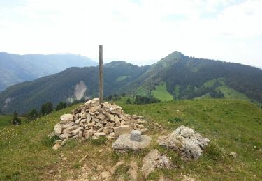
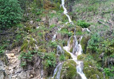
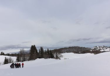
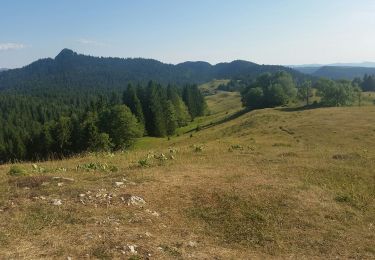
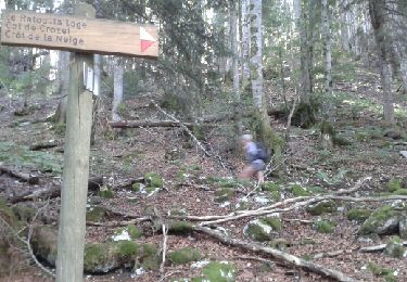
Trail Walking La Pesse - CRETS CHALAM, AU MERLE et NERBIER - Photo

CRETS CHALAM, AU MERLE et NERBIER

© OpenStreetMap contributors
Length
Length
12.3 km
Max alt
Max alt
1524 m
Uphill gradient
Uphill gradient
515 m
Km-Effort
Km-Effort  
19.2 km
Min alt
Min alt
1270 m
Downhill gradient
Downhill gradient
514 m
Boucle
Boucle
Yes
Creation date :
2021-08-11 07:03:30.763
Updated on :
2021-08-11 19:24:09.036

(0 Reviews)

Walking
Walking
7h59
Difficulty : Medium

Scan this QR Code to open this trail in the SityTrail application

FREE GPS app for hiking

Logo SityTrail SityTrail

IGN / Geographical institutes

Download SityTrail from the App Store Download SityTrail from Google Play

Logo SityTrail SityTrail World

The world is yours!

Download SityTrail from the App Store Download SityTrail from Google Play Download SityTrail on Huawei AppGallery

About

Trail Walking of 12.3 km to be discovered at Bourgogne-Franche-Comté, Jura, La Pesse. This trail is proposed by Jean-Paulchoux.

Elevation profile

Photos

Positioning

Country:
France
Region :
Bourgogne-Franche-Comté
Department/Province :
Jura
Municipality :
La Pesse
Location:
Unknown
Start:(UTM)
721096 ; 5127690 (31T) N.

Trails nearby

Trail Walking La Pesse - la pesse le cret du merle - Photo
Walking
GUIDE
randotines

Walking

Difficult
(1)
La Pesse, Bourgogne-Franche-Comté, Jura, France
12.2 km | 18.4 km-effort
3h 23min
Yes
Trail Walking La Pesse - la pesse - Photo
Walking
patrickmarchais

Walking

Easy
(2)
La Pesse, Bourgogne-Franche-Comté, Jura, France
11.5 km | 15.4 km-effort
2h 48min
Yes
Trail Snowshoes Bellecombe - les trois cheminees - Photo
Snowshoes
colomb24

Snowshoes

Very easy
Bellecombe, Bourgogne-Franche-Comté, Jura, France
10.9 km | 15.1 km-effort
4h 28min
Yes
Trail Snowshoes La Pesse - 1/2 rando raquettes Pesse-retour - Photo
Snowshoes
janussity

Snowshoes

Difficult
La Pesse, Bourgogne-Franche-Comté, Jura, France
4.6 km | 6.4 km-effort
1h 25min
No
Trail Walking La Pesse - 13 ème étape de la grande traversée du Jura  - Photo
Walking
Michel 67

Walking

Very difficult
La Pesse, Bourgogne-Franche-Comté, Jura, France
14 km | 20 km-effort
3h 50min
No
Trail Walking Chézery-Forens - Chezery Crêt Chalam (IBP 95) 7 mai 2021 CAF - Photo
Walking
TRIMAILLE

Walking

Difficult
Chézery-Forens, Auvergne-Rhône-Alpes, Ain, France
17 km | 30 km-effort
5h 47min
Yes
Trail Snowshoes La Pesse - la Pesse rando raquette neige  - Photo
Snowshoes
janussity

Snowshoes

Medium
La Pesse, Bourgogne-Franche-Comté, Jura, France
6.7 km | 9.9 km-effort
3h 1min
Yes
Trail Walking La Pesse - la pesse - Photo
Walking
veroberton

Walking

Medium
La Pesse, Bourgogne-Franche-Comté, Jura, France
12.8 km | 19.5 km-effort
4h 5min
Yes
Trail Walking Lélex - le Crêt de la neige ... le Reculet - Photo
Walking
margotte

Walking

Medium
Lélex, Auvergne-Rhône-Alpes, Ain, France
14.5 km | 27 km-effort
5h 23min
Yes


Close
My subscriptions